Saturday, 26 November 2016
Yorkshire Dales.
Parked up at Malham and started walking. With no plan I ended up climbing the famous Yorkshire Three Peaks, of which I knew nothing about prior to this trip.
Wednesday, 29 June 2016
Lake District
Day 1. Leaving the car in Coniston I ventured forth into the hills...first time ever in the Lakes.
 |
| Church Beck. |
 |
| First target was The Old Man of Coniston. |
 |
| This area was heavily mined in ages past. |
 |
| It even had a cable car system. |
 |
| Mine entance. |
 |
| Low Water. |
 |
| Coniston and Coniston Water. |
 |
| Old Man of Coniston trig point... |
 |
| and Cairn. |
 |
| Swirl How from Brim Fell. |
 |
| Levers Water. |
 |
| View from camp. Brewing up with MSR Windburner. |
 |
| SMD Deschutes. |
 |
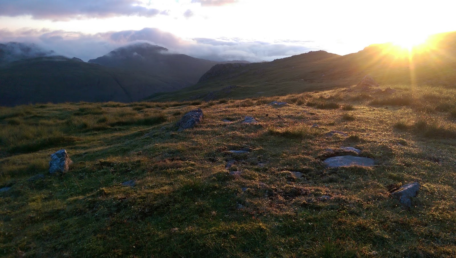
| Sunset. |
Day 2. Covered a lot of ground today on my way to Scafell Pike, tallest mountain in England. Gotta say though, Crinkle Crags had some great character.
 |
| Sunrise. |
 |
| Fluffy clouds near Great Carrs. |
 |
| Pike of Blisco from Wet Side Edge. |
 |
| Red Tarn and Cold Pike. |
 |
| Great Knott. |
 |
| Pike of Stickle and Loft Crag, in middle. |
 |
| Crinkle Crags. |
 |
| Crinkle Crags |
 |
| Pool on Crinkle Crags. |
 |
| Atmosphere up on Crinkle Crags was awesome. |
 |
| Bow Fell. |
 |
| First proper sight of target...Scafell Pike. |
 |
| Esk Pike. |
 |
| Great End. |
 |
| Ill Crag. |
 |
| Broad Crag summit. |
 |
| Final ascent up Scafell Pike. |
 |
| Scafell Pike trig point. |
 |
| View north from summit. I spy a place to camp! |
 |
| Lingmell. |
 |
| North Face of Scafell Pike. |
 |
| Great Gable and Styhead Tarn. |
 |
| Styhead Tarn. |
Day 3. Heading north.
 |
| Weather closed in. |
 |
| Climbing Great Gable. |
 |
| Great Gable summit. |
 |
| Green Gable summit |
 |
| Weather clearing up. |
 |
| Brandreth summit. |
 |
| Grey Knotts summit. |
 |
| Dale Head. |
 |
| Looking back at Fleetwith Pike and Honister Crag, whilst climbing Dale Head. |
 |
| View North from Dale Head. |
 |
| Dale Head summit. |
 |
| Gill from Dale Head Tarn. |
 |
| High Spy summit. |
 |
| Perfect! Camped out on Minum Crag overlooking Derwent Water and Keswick. |
 |
| In the distance Skiddaw and Blencathra call to me. |
 |
| View of the Helvellyn Range. |
Day 4. Operation : Skiddaw.
 |
| Glorious sunrise! |
 |
| Harvesting some solar. |
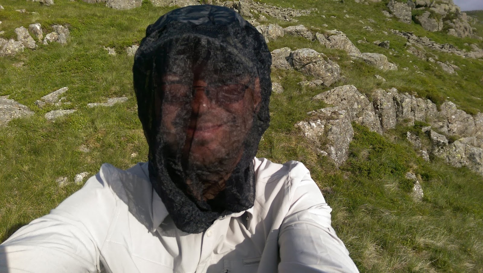 |
| Midges! |
 |
| Blea Crag. |
 |
| Catbells. |
 |
| Skelgill Bank. |
 |
| Derwent Water. |
 |
| Lunch in Portinscale...yummy! |
 |
| Start of the ascent up Skiddaw. |
 |
| View back. |
 |
| On and on. |
 |
| Top of Carl Side. |
 |
| Took wrong route...this was SAF (Steep as fuck). |
 |
| Needed a brew. |
 |
| End in sight. |
 |
| Bassenthwaite Lake. |
 |
| Skiddaw trig point. |
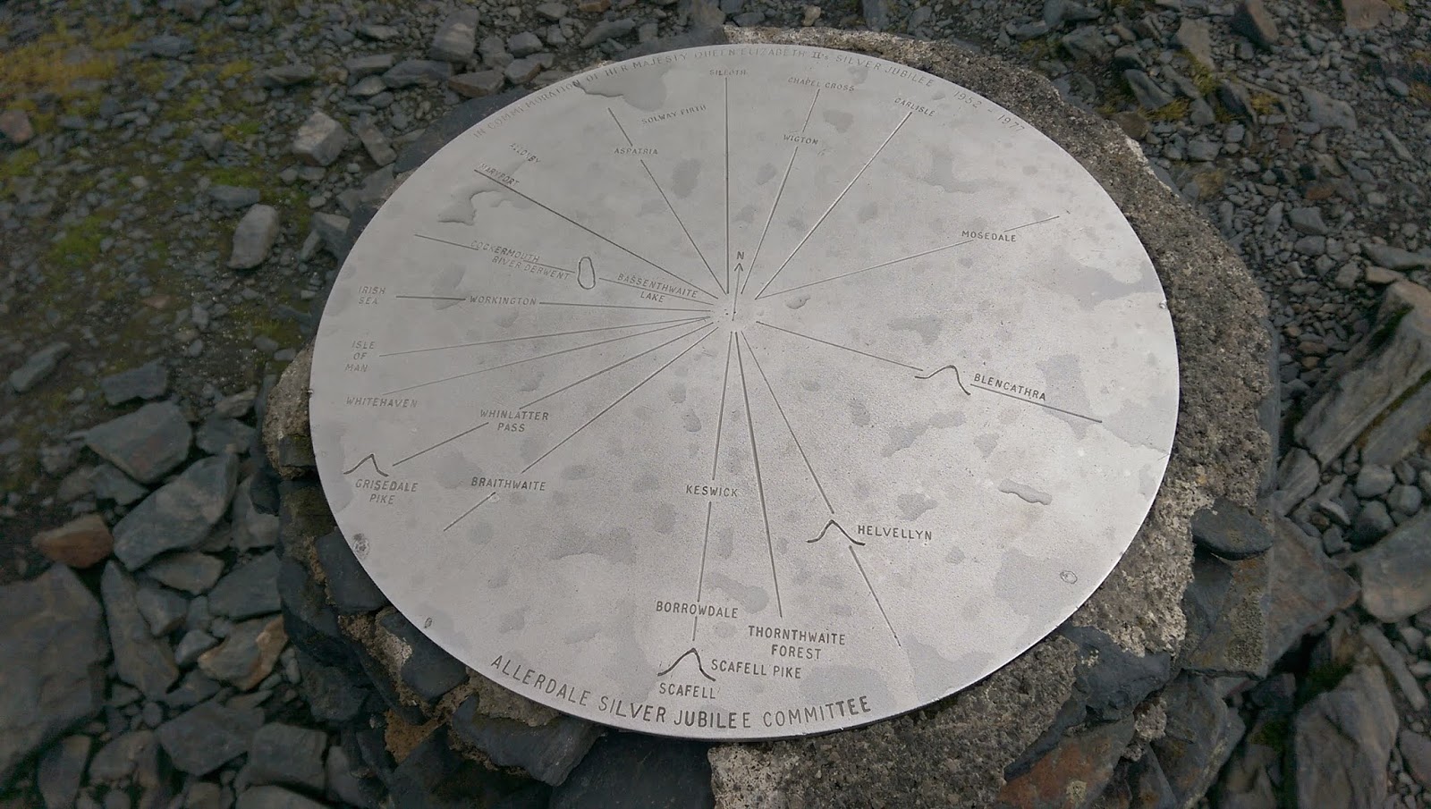 |
| Viewpoint info. |
 |
| Next target...Blencathra. |
 |
| 10 peaks challenge? |
 |
| Little Man. |
 |
| View to Blencathra from Little Man. |
 |
| Memorial stone for two shepherds. |
 |
| Skirting round Lonscale Fell. |
 |
| Rainbow over the Western shoulder of Blencathra. |
 |
| Tired. |
Day 5. Blencathra plus first few hills on the Helvellyn Range.
 |
| Heading round Blencathra to the path up. |
 |
| And up we go. |
 |
| Blease Fell, Western shoulder of Blencathra. |
 |
| Gategill Fell. |
 |
| Hallsfell Top, summit of Blencathra. |
 |
| Summit stone. |
 |
| View down Halls Fell Ridge. |
 |
| Scales Tarn and Sharp Edge. |
 |
| Heading down Blencathra Eastwards past Doddick Fell and Scales Fell. |

 |
| Food at the White Horse Inn. |
 |
| Next target, Clough Head...start of the Helvellyn Range. |
 |
| River Gleneramackin. |
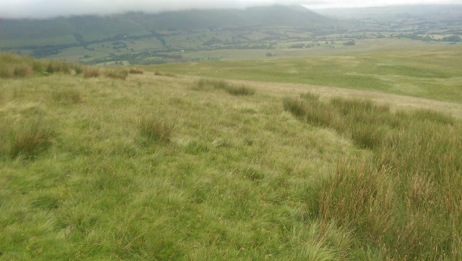 |
| The number of times the c-word came to mind trudging up through this knee/waist high grass. |
 |
| A rustic shack... |
 |
| ...for a rustic brew! Place had atmosphere...nice to be out the rain too. |
 |
| Great Mell Fell in the distance. |
 |
| Back to task. |
 |
| Clough Head trig point. |
 |
| Calfhow Pike |
 |
| Weather real shite now. This is Great Dodd. Next I headed down NE towards Randerside and camped out. My lil tarp tent did well in the wind and rain. |
Day 6. Helvellyn and home.
 |
| Morning brew near Randerside. |
 |
| Thirlmere Reservoir from Watson's Dodd. |
 |
| Stybarrow Dodd. |
 |
| Heading up Raise from Sticks Pass. |
 |
| Jagged summit of Raise. |
 |
| Helvellyn from Raise summit cairn. |
 |
| Swirral Edge leading to Catstye Cam with Ullswater in the distance. |
 |
| Red Tarn with the infamous Striding Edge to the right of it. |
 |
| Trig point Helvellyn. Phone died after this. Shame, coz I would of had a superb pic of Striding Edge a little further on. |
Listening to the England v Iceland shambles on the drive back home I couldn't help but think what a superb trip this had been.
Subscribe to:
Comments (Atom)